By Skip Kaltenheuser
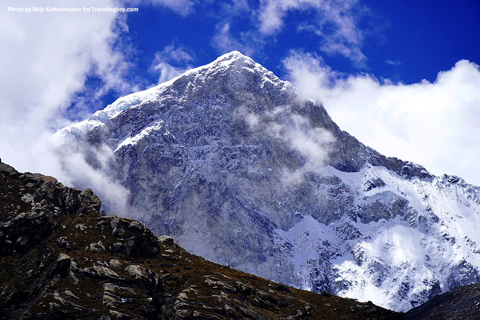
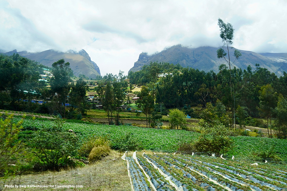
The world’s highest tropical mountain range, the Cordillera Blanca, (White Range) triumphs the continent in north-central Peru in the Ancash region. The Huascarán National Park that contains most of the range is a UNESCO World Heritage Site that covers 3,400 square kilometers. The mountain range itself is 200 km long and 21 km wide.
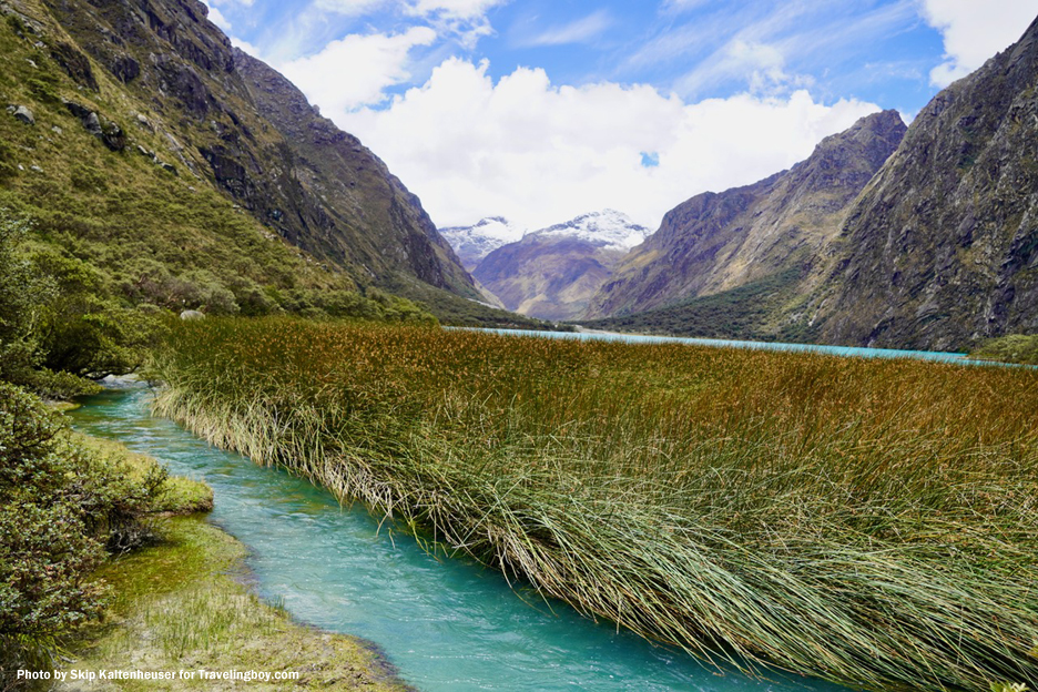
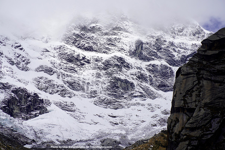
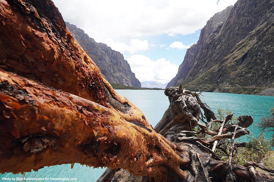
Unique plants abound, like the high altitude orange-rust paper bark trees. One can be viewing tropical plants and then lift one’s gaze to some of the park’s 27 snow-capped peaks above 6,000 meters, and perhaps an Andean Condor. Among the peaks is the highest mountain in Peru, Huascarán, 6,768 meters. The Llanganuco lagoon in the photos, one of hundreds of lakes in the park fed by over 660 tropical glaciers, is 3,860 meters high. If you’re coming from low altitudes and haven’t acclimated, take it slow and easy, as even that height, well over twice as high as Denver, can feel taxing on a slope. For those acclimated and up for it, there are multiple hiking journeys, from several days to ten or more.
Among the mountains is Artesonraju, the model for the current Paramount logo that in 1953 replaced the 1914 model based on the Utah mountain Ben Lomond. No word on if the Ellisons will change Paramount’s logo to the crumbled White House East Wing.
What are tropical mountain ranges? They hang their hats between the Tropic of Cancer and the Tropic of Capricorn, maintaining a monthly average temperature of 18 or more degrees C. Plenty of rainfall and cloud moisture, and distinct vertical life zones, from rain forests to upper tree lines as high as 4,000 meters.
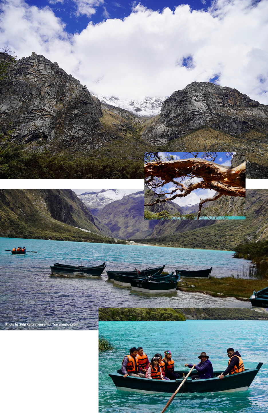
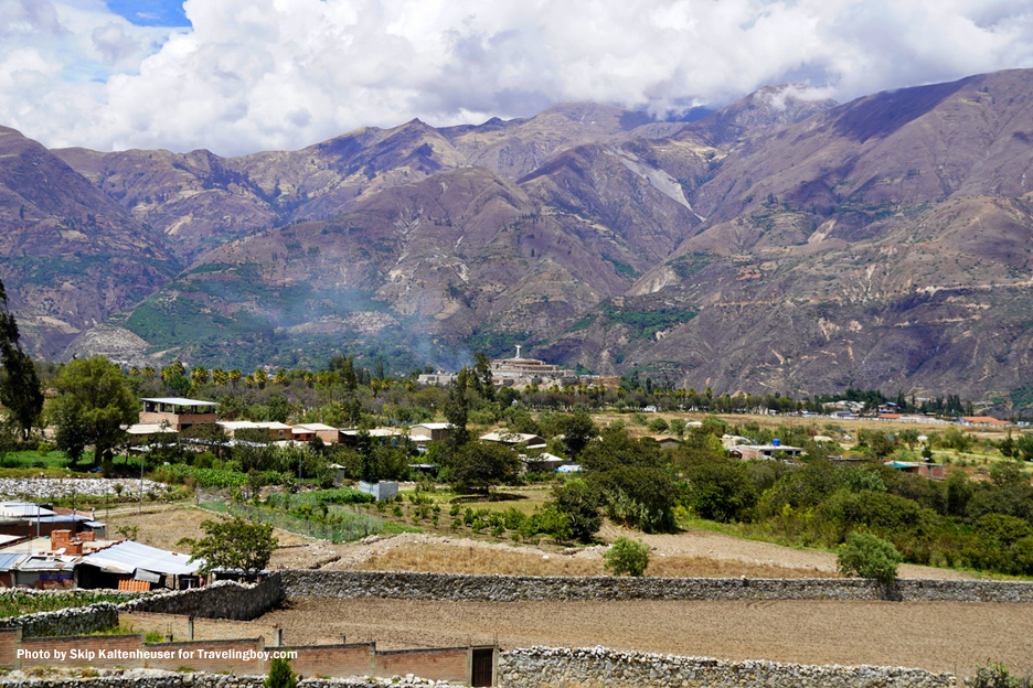
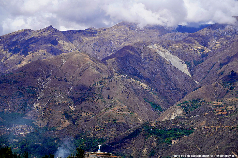
To travel to the park from the town of Huaraz, visitors traverse a valley that was devastated by the 1970 earthquake that killed 30,000 people in the initial avalanche alone, climbing to 70,000 in related disasters. In a couple photos you can see a distant statue of Christ in the town of Yungay, now a national cemetery as it was impossible to reach victims. Some boulders carried in the avalanche weigh up to 14,000 tons. The 7.9 quake severed part of the north peak of Huascarán Mountain, powering the avalanche. Another photo, of a garden, also shows the distant break in the ridge where the avalanche roared through. It is difficult to imagine but it traveled 16 km in three to four minutes, the main mass going as fast as 335 km/h. The leading edge may have been 450 km/h, with airborne projectiles, multi-ton rocks, flying as fast as 1,100 km/h. To hear and see it coming must have terrified, though briefly, then over like being shot by God. The few survivors were those, like a class from a girls school on an outing, who happened to be graced by being up higher in the valley, watching their world disappear forever.
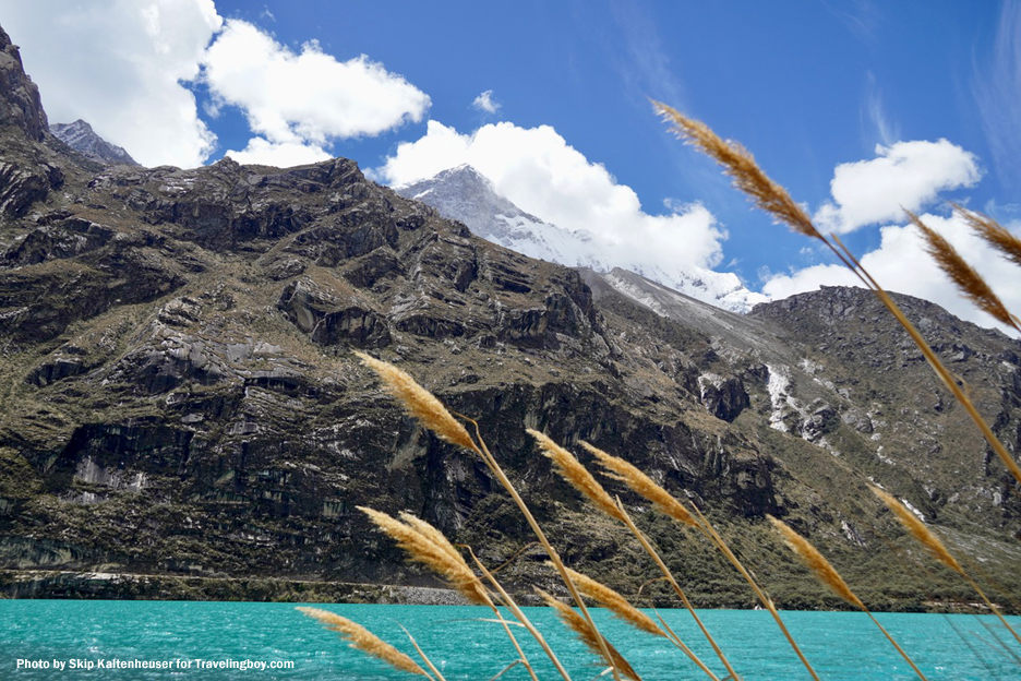
Peru’s beauty is without peer. However, its location on the Pacific Ring of Fire carries the potential for cosmic rug jerks in parts of the country. On a smaller scale, it’s not uncommon to reroute or change destinations in the area due to frequent landslides. Fortunately there are many choice options. This all conveys a sense of precarity, one that is growing in one aspect or another throughout much of South America.
For more information, visit the tourism department.

































Raoul
August 19, 2026 at 10:52 pm
Majestic photos! I can smell the cold fresh air. Thanks for sharing.