All photographs by Deb Roskamp exclusively for TravelingBoy.com
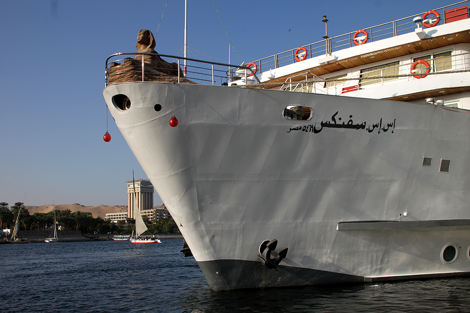
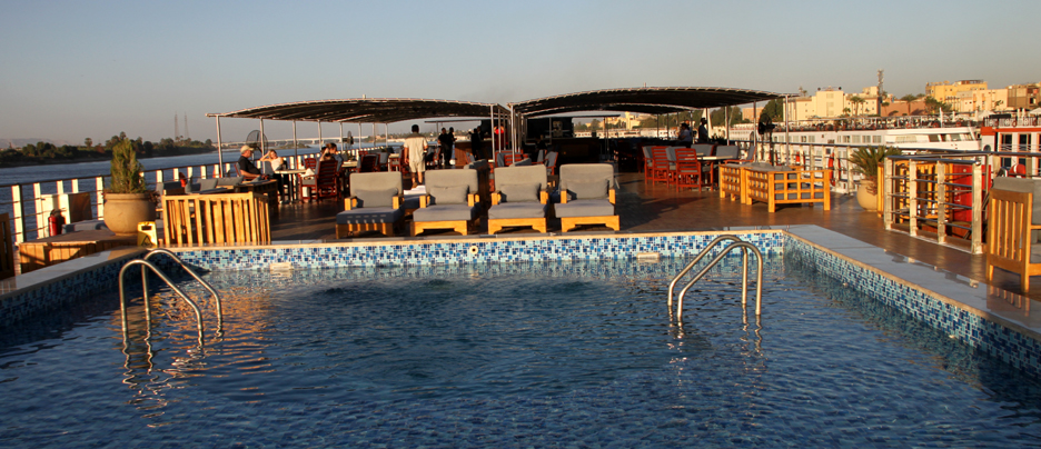
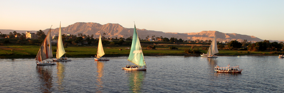
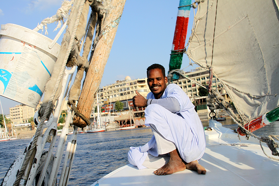
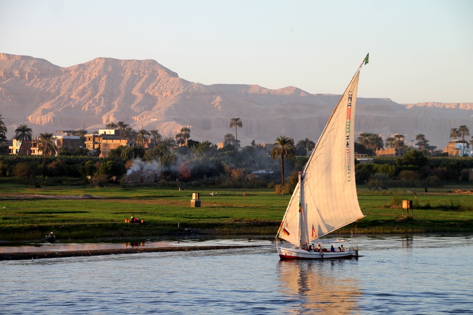
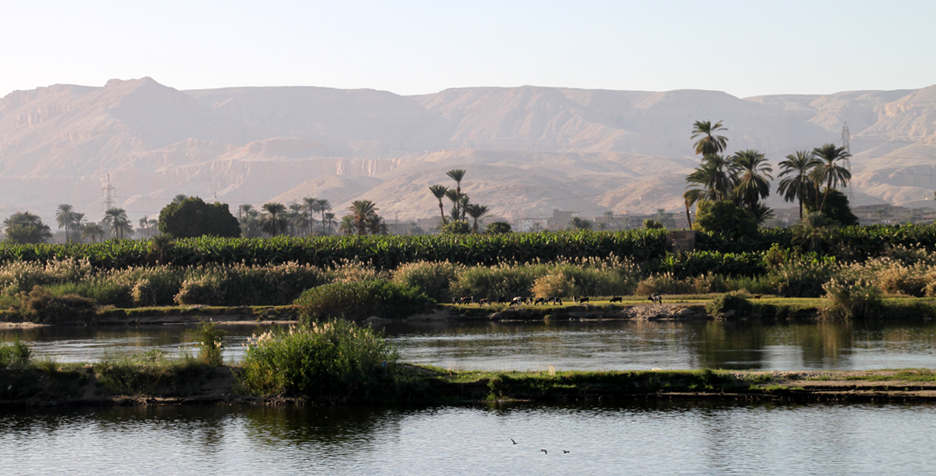
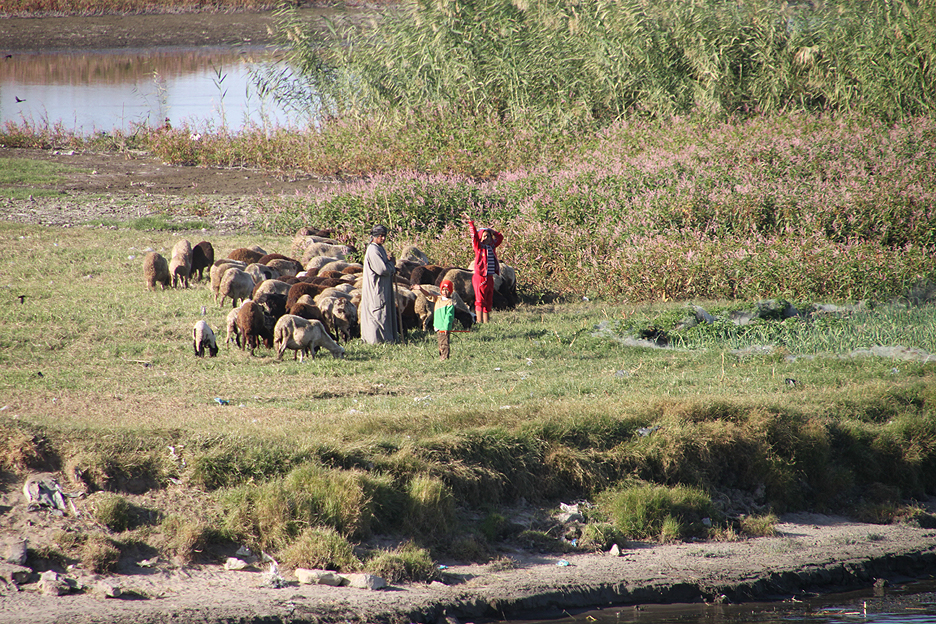
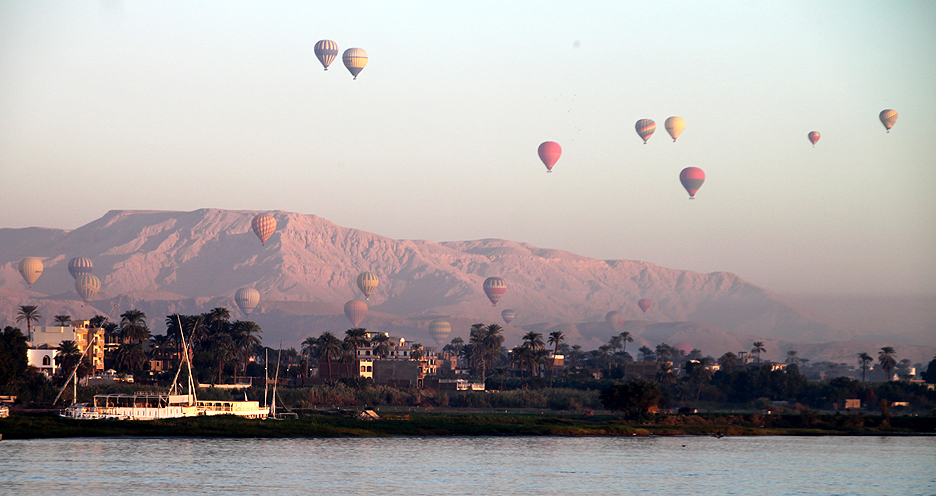
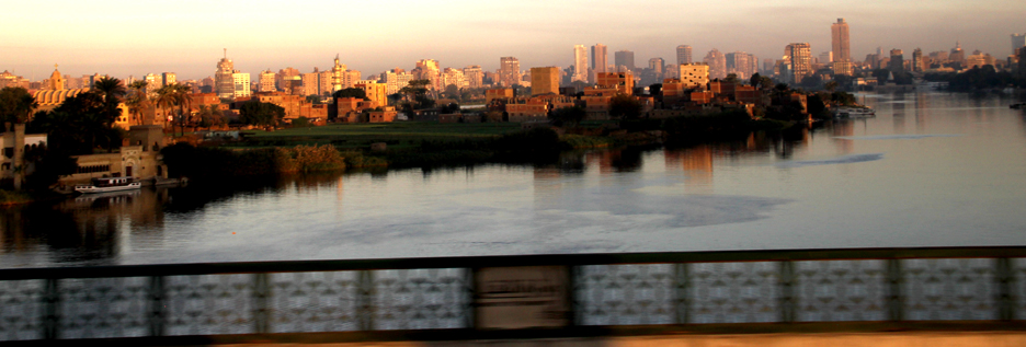
TBoy photographer, Deb Roskamp, shares pictures along the historic Nile River, taken while cruising with UniWorld River Cruises.
The Nile River: Lifeline of Egypt
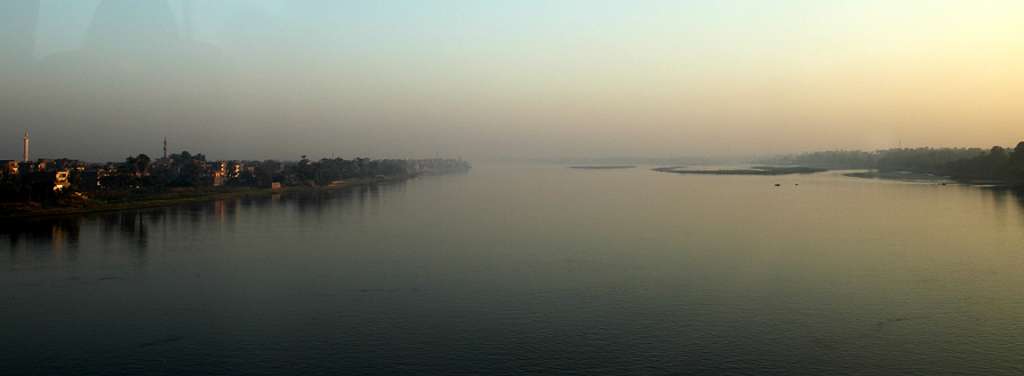
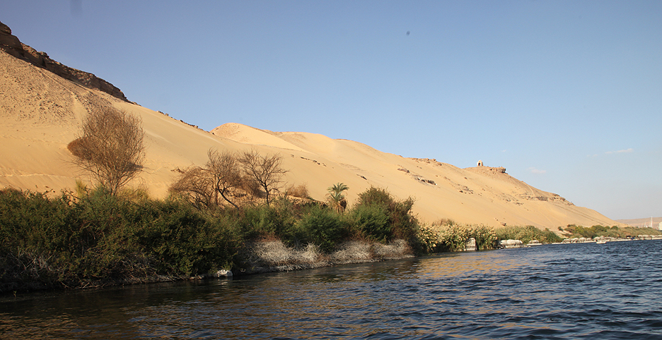
The Nile River is not just a geographic feature in Egypt — it is the lifeblood of the nation. Stretching over 6,600 kilometers, the Nile is the longest river in Africa and has played a central role in Egypt’s history, culture, and development for thousands of years.
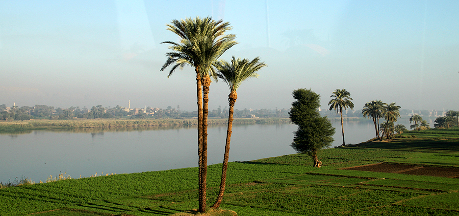
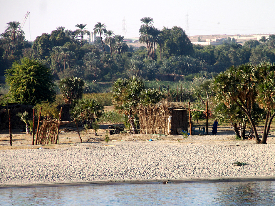
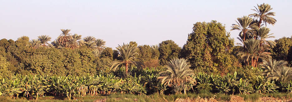
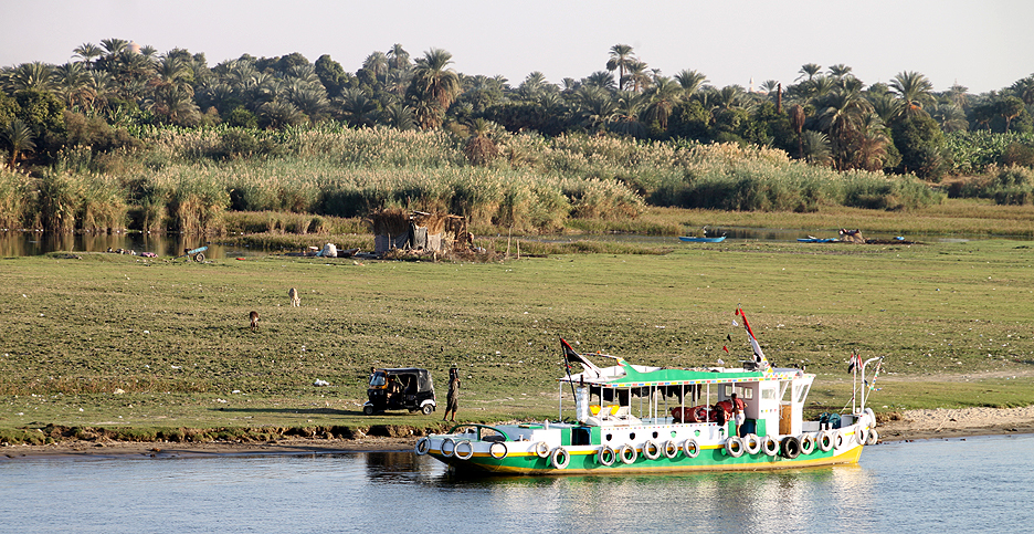
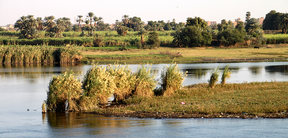
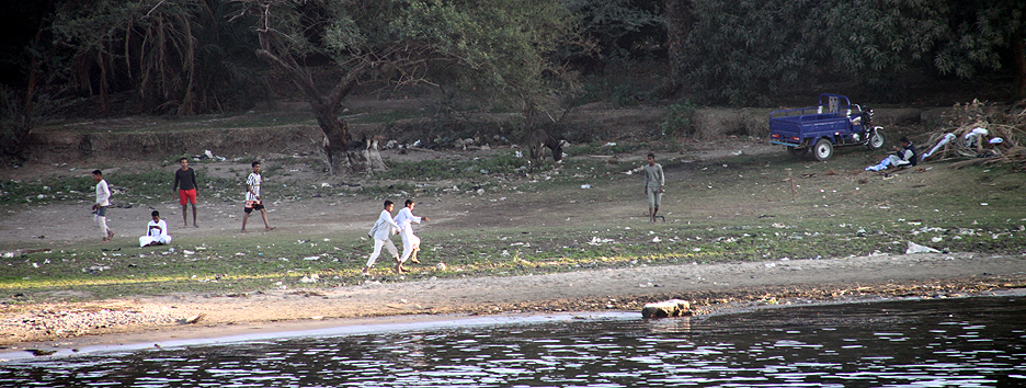
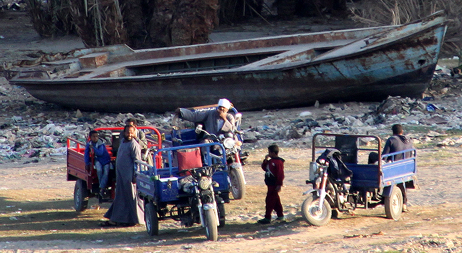
Originating from two main tributaries — the White Nile and the Blue Nile — the river flows northward through eastern Africa before emptying into the Mediterranean Sea. In Egypt, the Nile provides vital water for drinking, farming, and transportation. Over 95% of Egypt’s population lives along its banks or in the Nile Delta, where the fertile soil has supported agriculture since ancient times.
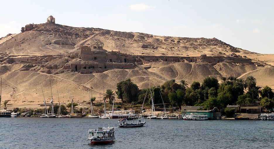
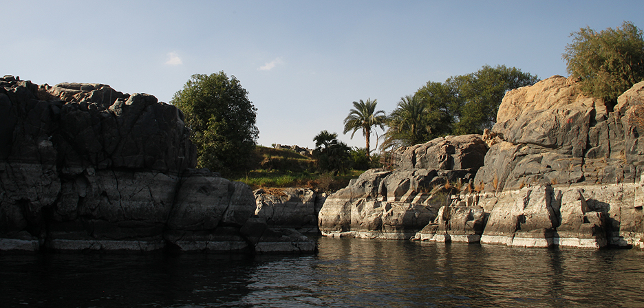
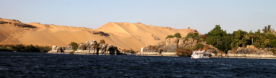
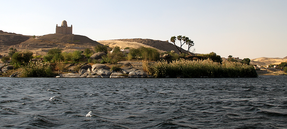
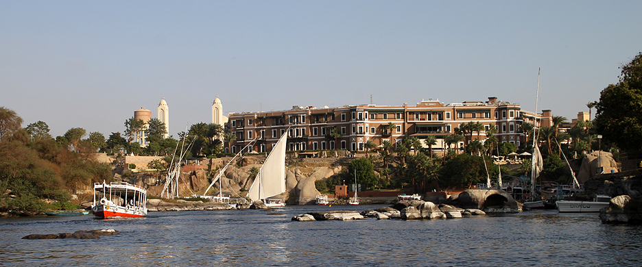
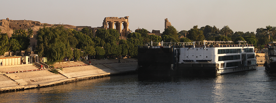
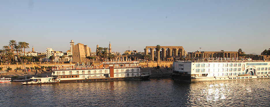
Historically, the Nile allowed ancient Egyptian civilization to flourish. Its predictable flooding nourished crops and led to the development of advanced farming techniques. Cities, temples, and monuments — like those at Luxor and Aswan — were built near the river, and it remains a symbol of Egyptian identity.
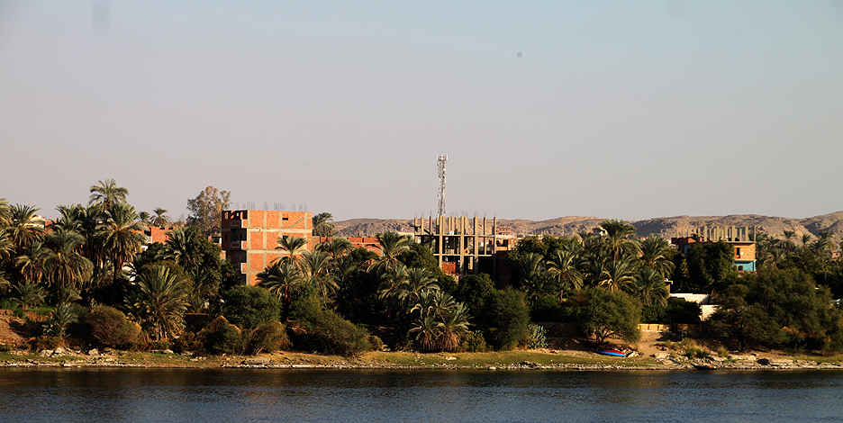
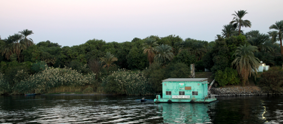
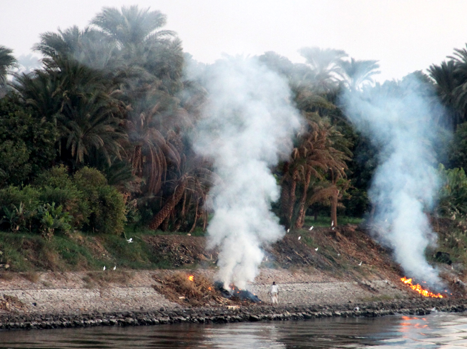
Today, the Nile continues to be essential for Egypt’s economy and environment. However, it faces modern challenges such as pollution, population growth, and upstream dam construction, particularly the Grand Ethiopian Renaissance Dam (GERD), which has sparked regional concerns over water sharing.
Despite these challenges, the Nile remains a vital force in Egypt — a source of life, culture, and unity across millennia.


Tony Chisholm
July 30, 2025 at 7:52 pm
Deb
What a great series of photos of Egypt.! Looks really spectacular. Glad to see you are still travelling.
Tony